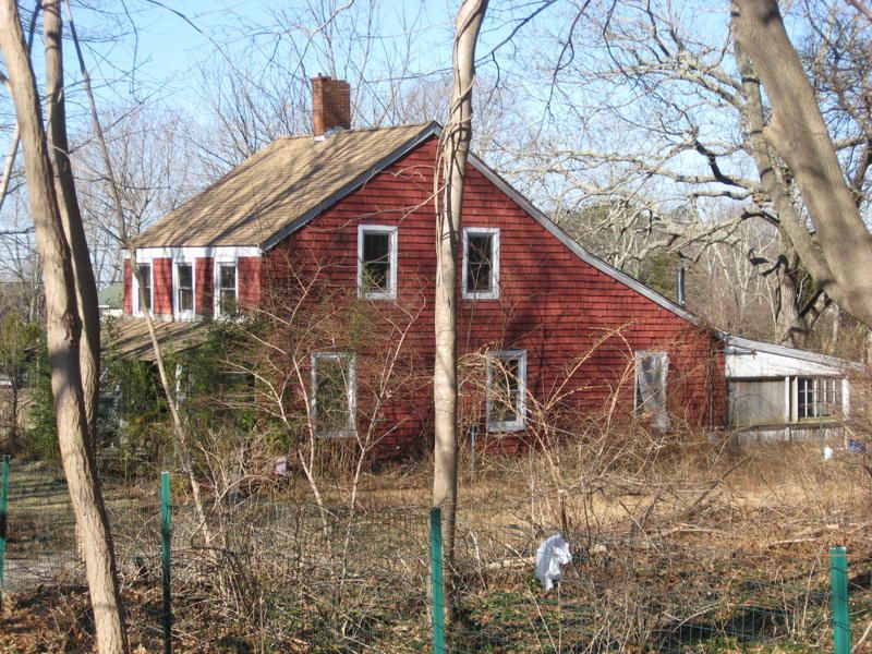
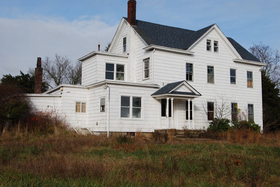
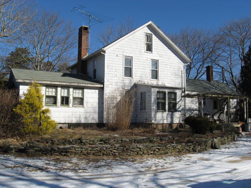
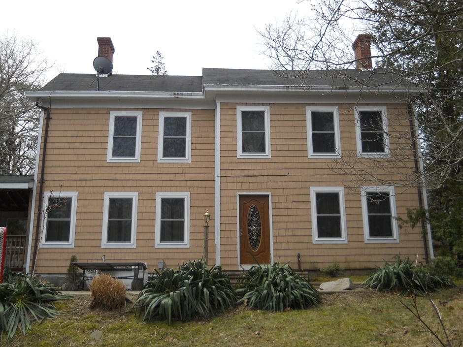
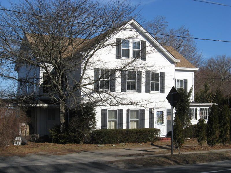
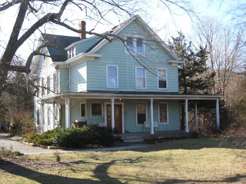
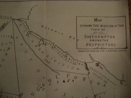
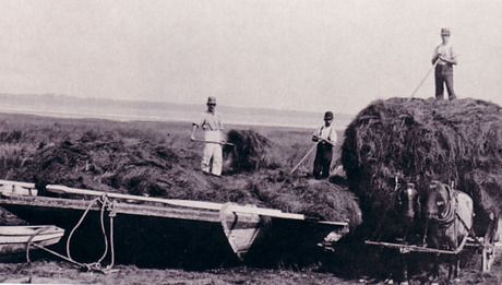
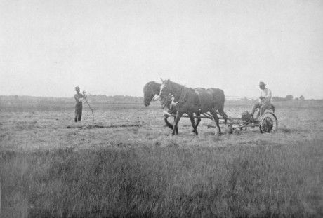
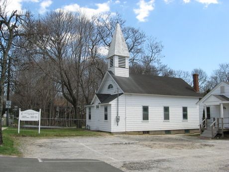
Flanders Village Historical Society
The Flanders Village Historical Society is a 501(c)(3) organization, which generally meets monthly. It was founded in 2008, by Gary Cobb, for the purpose of promoting an understanding and appreciation of the historical and cultural heritage of the Flanders community, and the surrounding area, thereby restoring a sense of place amongst the residents and filling a void in the preservation of local history. Through this website and other means, the society provides a portal to the 350 years of fascinating history that has defined the Flanders community.